Mapping
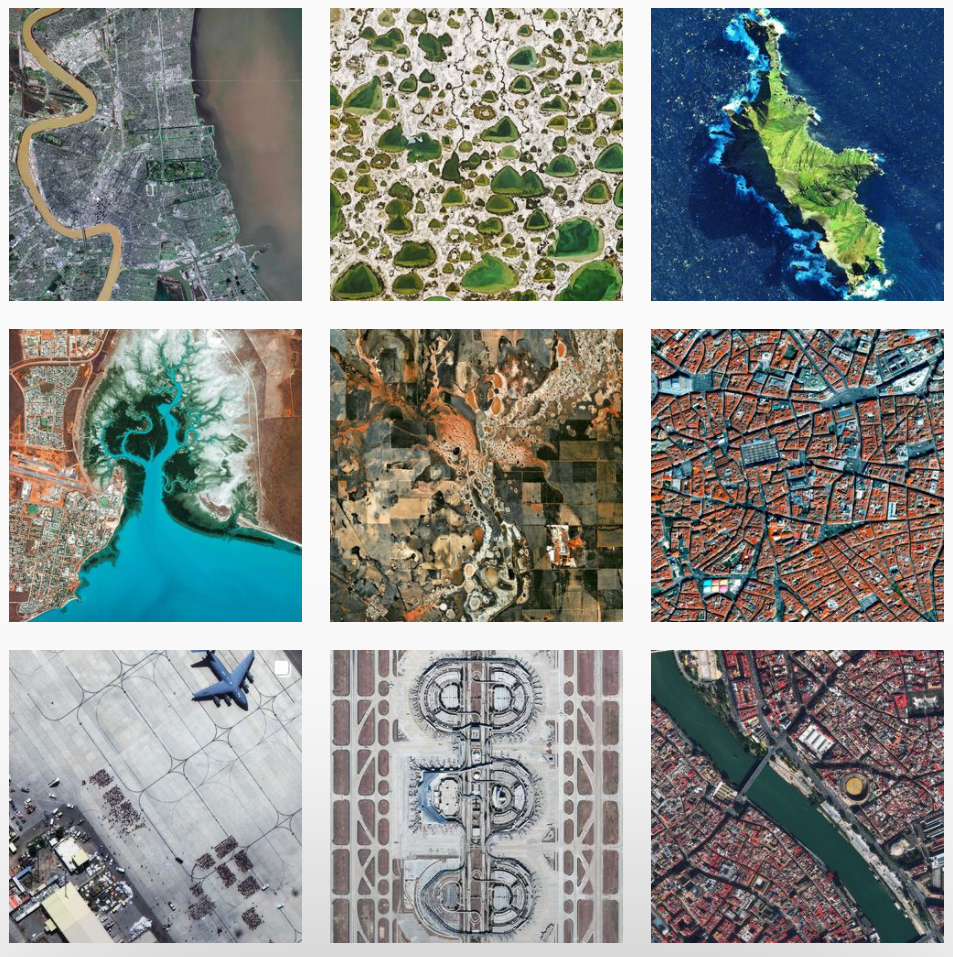
Interesting maps using NearMap
ANN: Singapore Ecological History Map
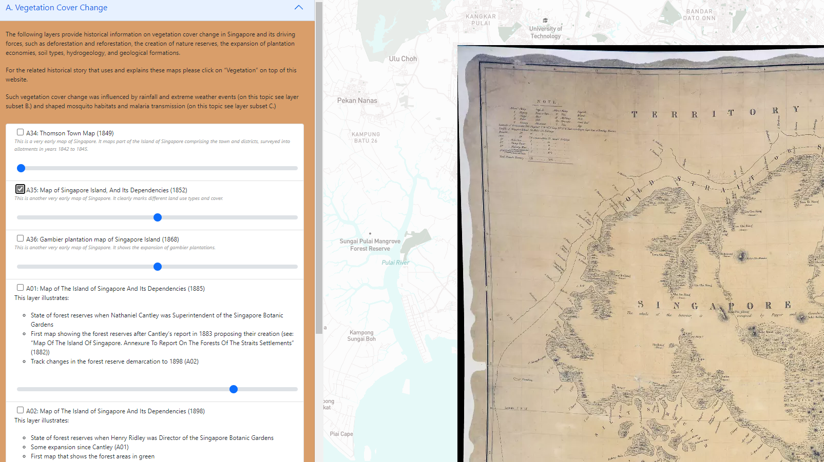
by Stefan Huebner
The “Singapore Ecological History Map” is now publicly accessible at NUS Libraries’ website. Our digital humanities project features about 60 GIS layers based on historical maps that illustrate land-use changes, rainfall and extreme weather events, and malaria epidemics in Singapore during the 19th and 20th centuries. It also includes three thematic storymaps on these topics. Layer files are available for download and public use.
Project website (NUS Libraries):
https://nus.edu.sg/nuslibraries/dsprojects/singapore_ecological_history_map/
Layer download option (NUS ScholarBank):
https://scholarbank.nus.edu.sg/handle/10635/226276
NatureKit
Many layers of data about Victoria, Australia. This tool has comparison layers of environmentally important vegetation from pre-1750 and today, which can be useful for various conversations...
NatureKit (environment.vic.gov.au)
Interesting Map Styles
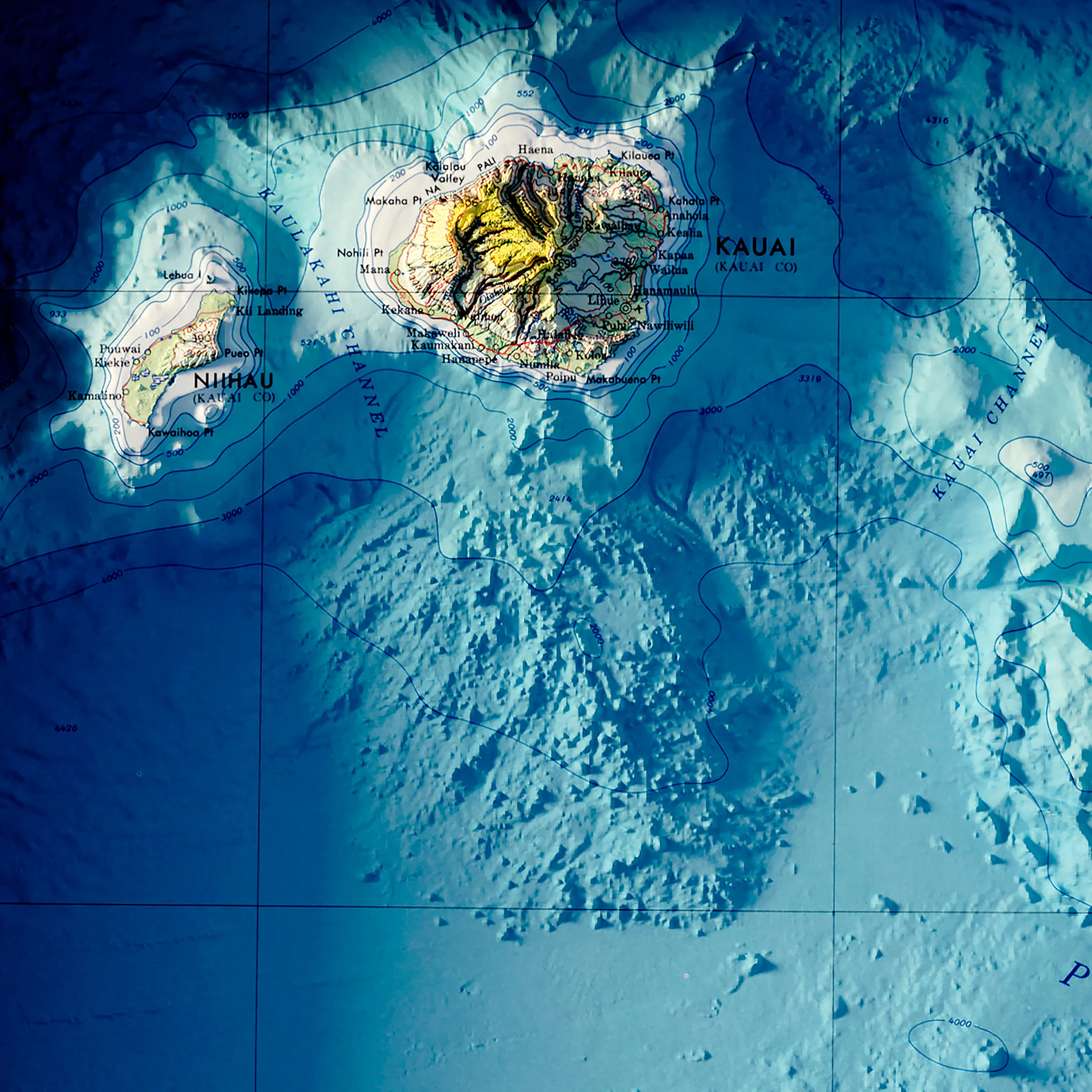
Hawaiian Islands 1971 Shaded Relief Map, this is from a company Muir Way that converts historical maps into 3D or illusory 3D decorative objects
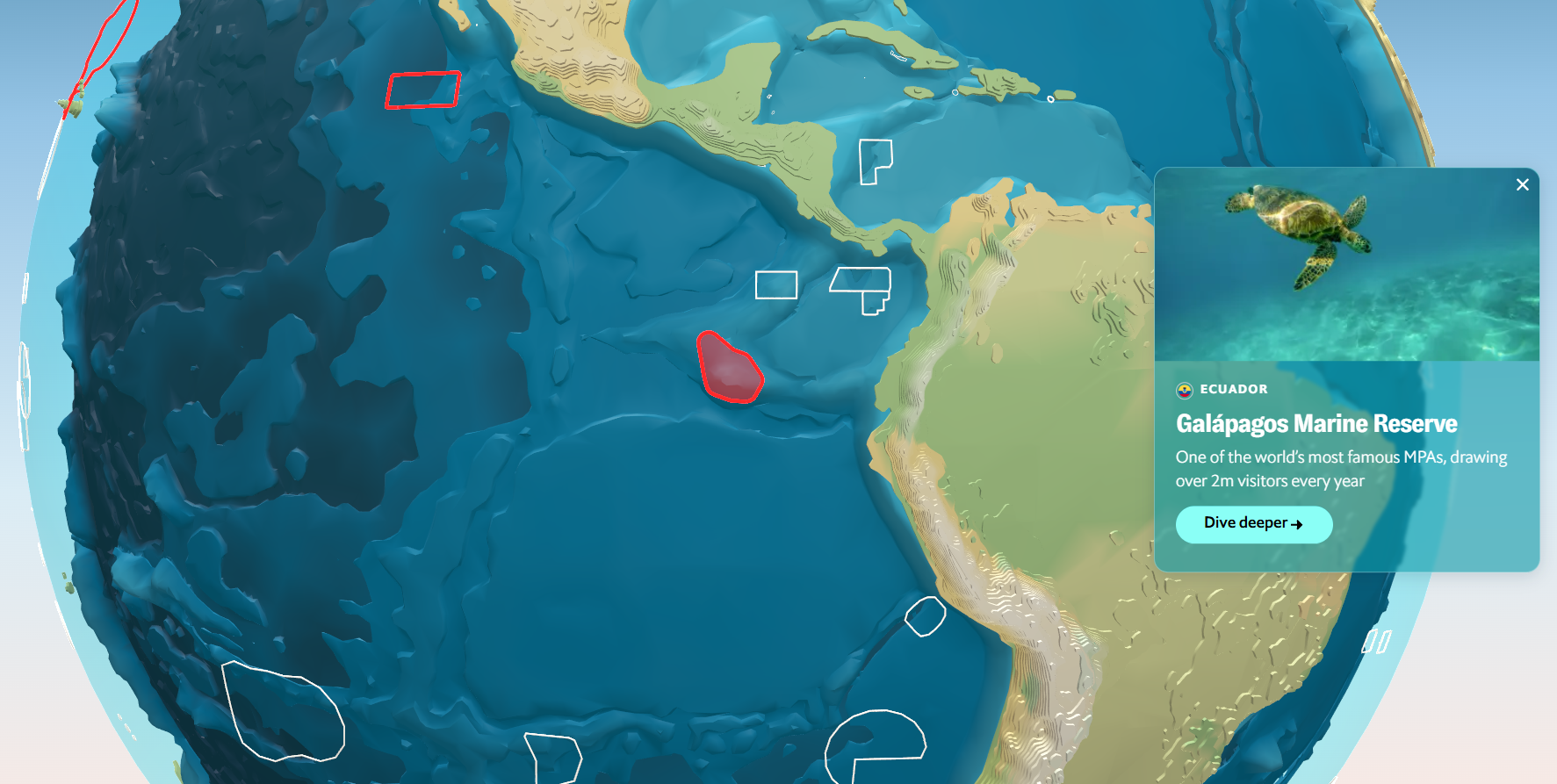
Oceanic Maps
Backlinks